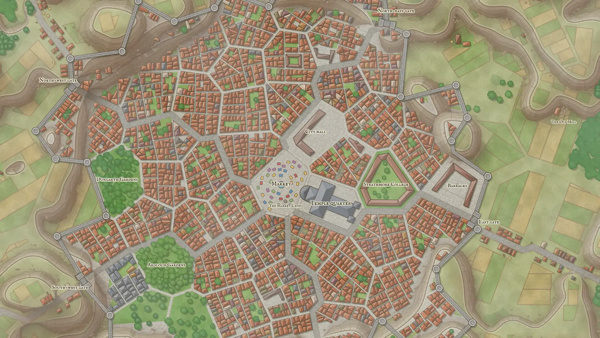
A town your players can get lost in.
A town and village map generator for tabletop RPGs. A mile or two of ground, street by street, with its market, its walls, its docks and the country round it.
No account needed. Free while we're in early access.
Laid out the way towns were
Not a scatter of houses on a texture. Scroll down and watch one city come together, in the order the rules build it.
- 1
The lie of the land
Hills in terraces with a cliff at each edge, soil worn to mud on the banks, and water running through the low ground.
- 2
Streets, and how they cross the water
Main streets run out from the market to the edges of the map, ramping through the cliffs. Where one meets the river, it gets a bridge long enough to land on both banks.
- 3
Fields, parks and woods
Field strips and farmsteads out in the country, gardens and graveyards nearer in, all cut to end short of a cliff.
- 4
Every building
Blocks split into lots round courtyards, a temple by the market, and in bigger towns a town hall, barracks, colleges and guildhalls, each fitted to its ward.
- 5
The walls
The wall follows the edge of town with towers at its corners and gates where the main streets leave. Lay your own and it joins on.
- 6
And what it's all called
Wards, squares and landmarks get names in the map's own tongue, each with a line for your notes.
From a dozen lanes to a metropolis
All four drawn at one scale, so you can see the difference. Each gets the wards, walls and great buildings its size calls for. The counts are read from each map.
Snow on the roofs, palms by the water
Climate decides what grows, what the ground is and what falls from the sky. Conifers in winter, drowned trees in a swamp, sand and green banks in a desert.
Put it on a rock
On a crag the wall stands on the cliff top. In a valley the town is the low ground, with the hills stepping up around it. Nothing ever straddles a cliff.
Wherever the session is
The same tools, with no town in sight. Each comes with its own ground, its landmarks named and a key to go with them.
The same town, a different night
Lamps in the windows, lanterns on the kerbs and a lighthouse sweeping the bay. Rain, snow, fog or a storm rolling in.
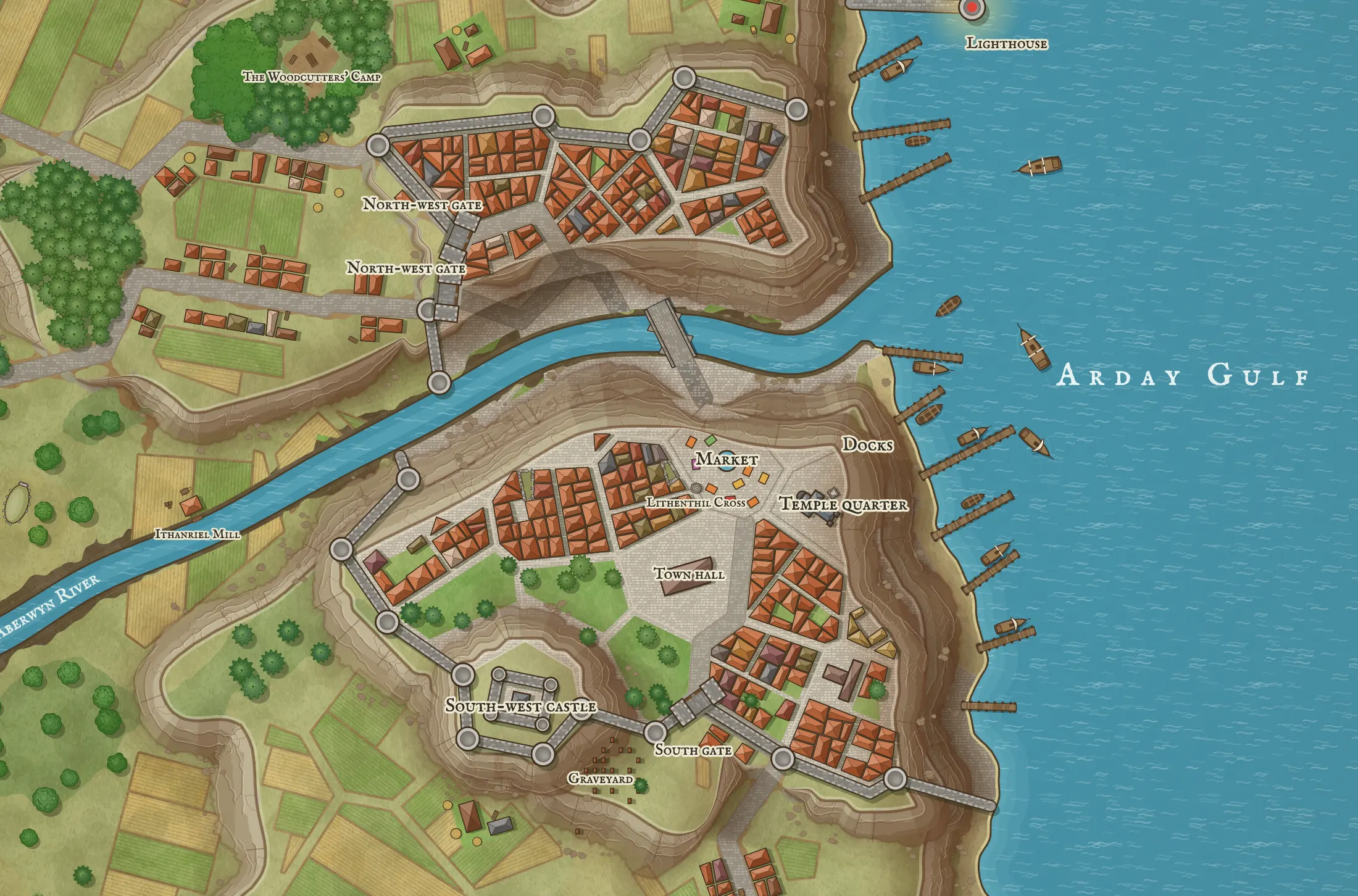
From tabletop diorama to inked chart
A photographed model, terracotta rooftops, a parchment plan or a lantern-lit night map. The streets stay put. Drag the handle.
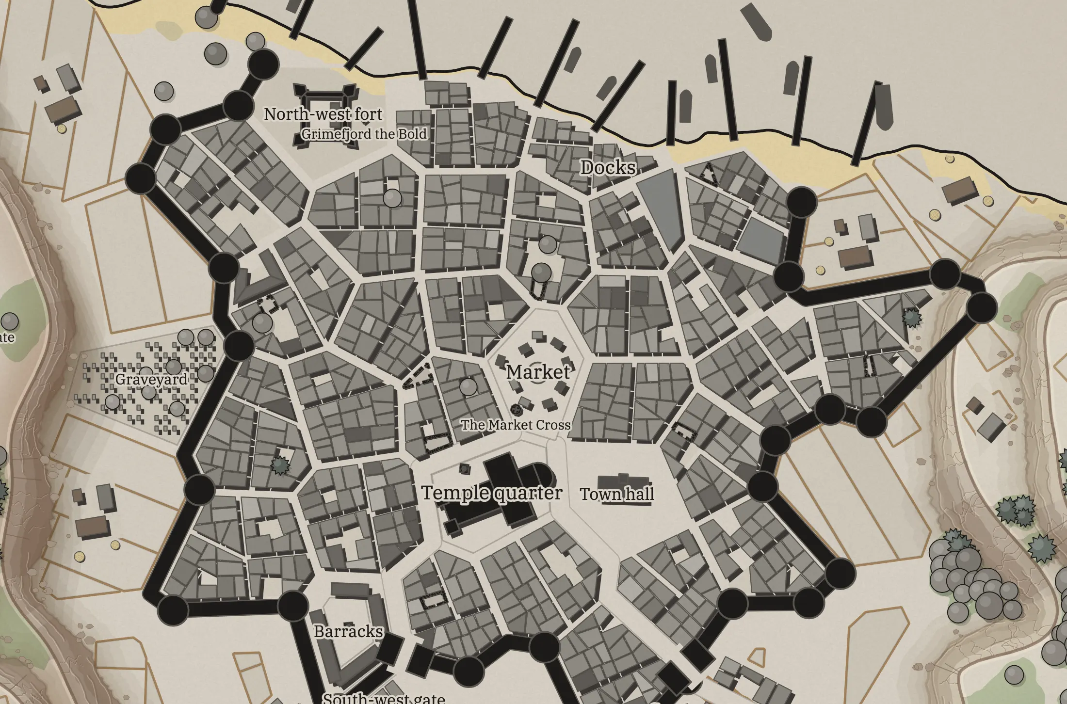
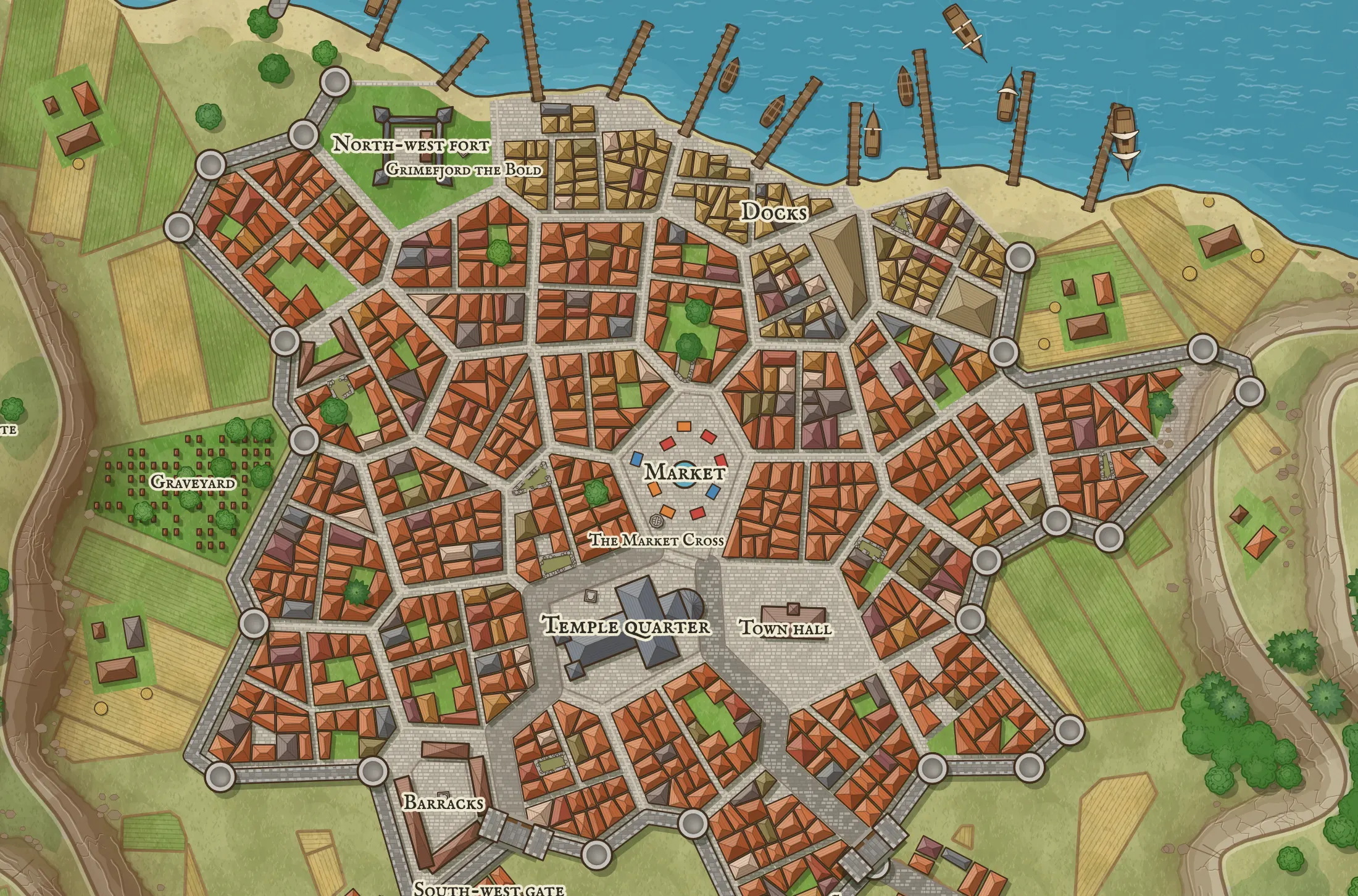 MiniatureInk and stone
Places to land
Colonies in a survey grid, in rings or as domes joined by walkways, each on a planet of its own. Spaceports, refineries and hives where the colony used to be.
Every scale links to the next
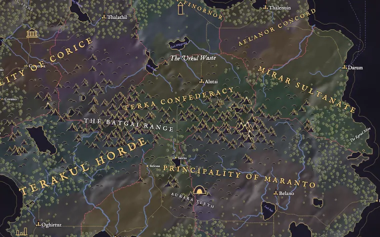
Pin a map inside the one above it and it's drawn from what's there: its coast, its roads, its buildings. Click your way from the world to the room.
Questions
Is it free?
Yes, while we're in early access. You can make and edit maps without an account. Sign in with your email to keep them in your account.
How big is an area map?
A mile or two across, enough for a town and the country round it. Large and Huge sizes give you more of that country at the same scale.
Can my players walk around in it?
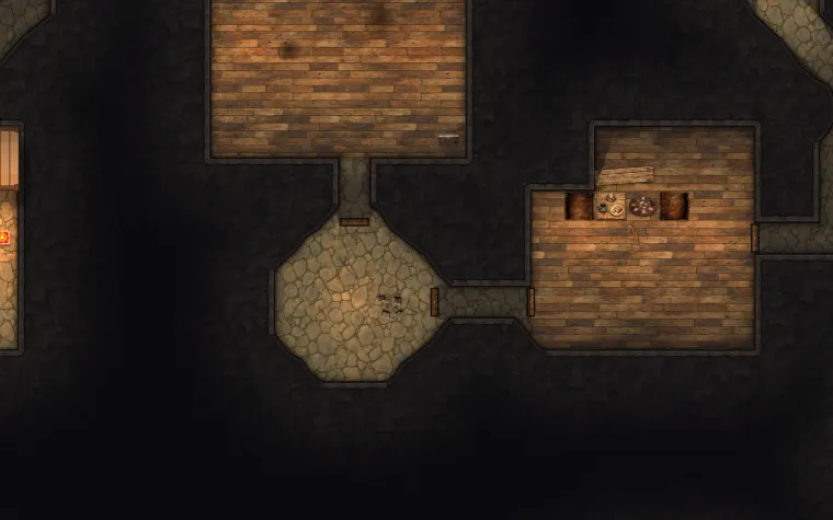
An area map is for finding your way, not moving tokens square by square. Once it's saved, click any spot and it offers game maps drawn from what's there: that street, the cellar under that house, the woods beyond the wall.
Can I export it?
As a PNG, or as a file you can open again here. Universal VTT export is for game maps, which have the walls and doors to go in it.
Can I change the streets and buildings?
Yes. There are tools for walls, gates, streets, bridges, buildings, fields, trees, water, heights and landmarks, with undo. Or draw an outline and generate a new place inside it.
How are the maps made?
The layouts are procedural: rules lay them out, and the same seed always builds the same place. Some of the art in some styles is made with image models.
They'll want to know what's down that alley
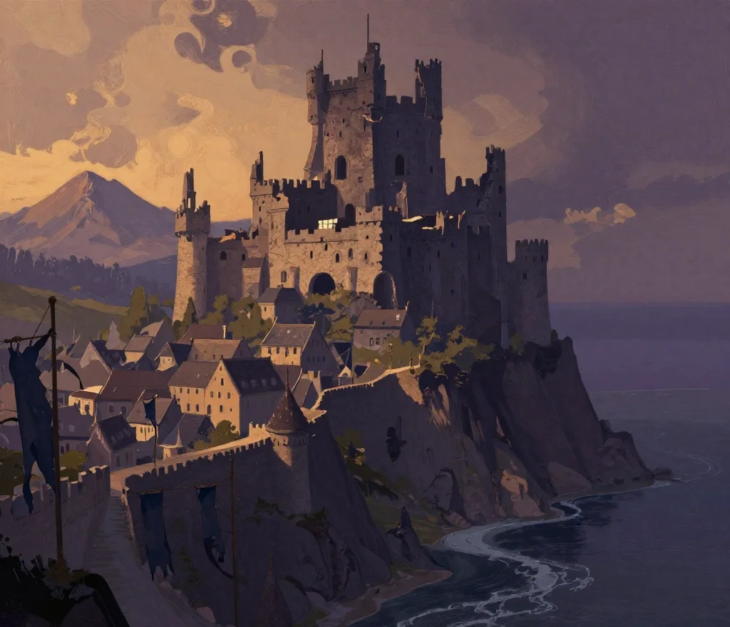
Make a town now, no account needed. Sign in to keep it, pin it inside your world and draw the alley when they get there.
Make an area mapSign in to save your maps and link them together.