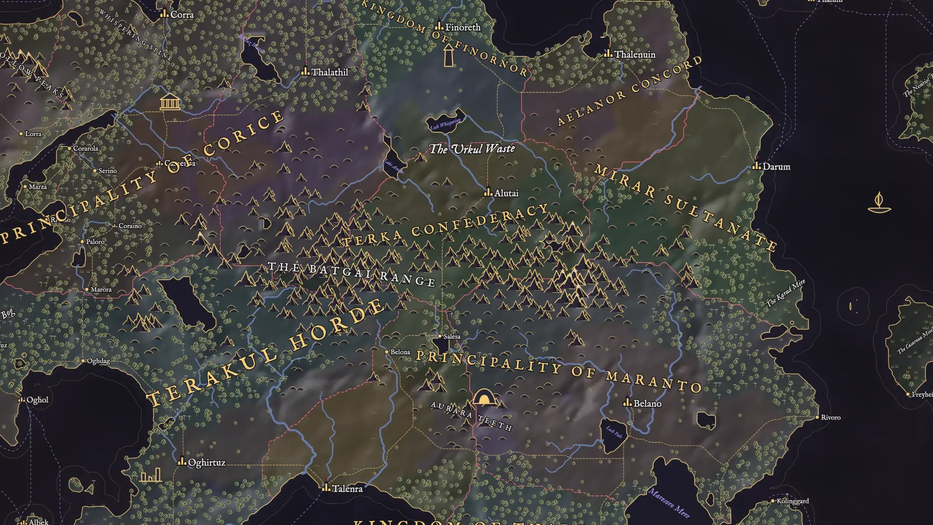
A whole world, named and ready to play in.
A world map generator for tabletop RPGs. Coasts, mountains, rivers that run downhill, realms with their borders and every name on the map, in a second or two.
No account needed. Free while we're in early access.
Geography first, then history
Each step is worked out from the one before, so the map has reasons in it. Scroll down and watch one world come together.
- 1
The land
A shape, warped by noise, with sea level set so the land takes its share. Biomes follow latitude, height and how near the water is.
- 2
Mountains and rivers
Ridged chains push up, lakes settle in the deepest hollows, and every river traces downhill until it reaches water.
- 3
Realms
Capitals rise where living is best, and borders grow out from them over the land, slowed by mountains and sea. Some land stays wild. Shown here in the Political style, which colours them in.
- 4
Towns and roads
Cities and towns on rivers and coasts. Roads find the passes and merge where they can, and sea routes run between ports.
- 5
Every name
Each realm has its own tongue for its towns and titles. Seas, ranges, woods and islands get labels along their length, kept from overlapping.
Continents, or a kingdom's coast
Whole worlds and regions a kingdom across, in the same tool. Pick a shape and go. The counts are read from each map.
Change the style, keep the world
An old parchment chart, soft watercolour, flat political colours, ink and stone, a lantern-lit night map or an old game's pixels. The coasts never move. Drag the handle.
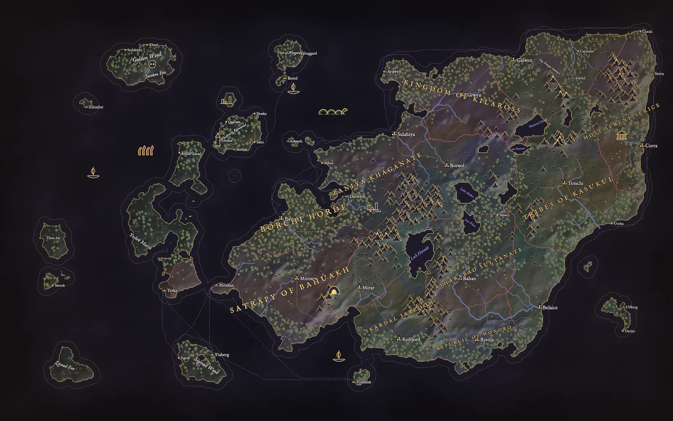
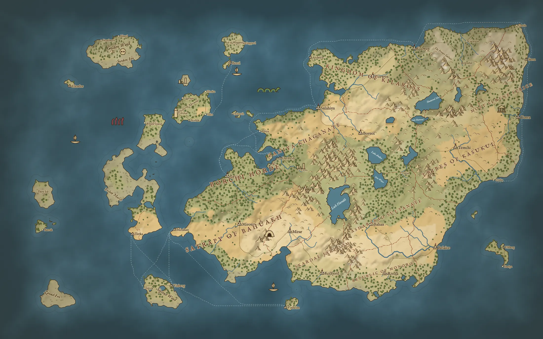 Old parchmentLantern
Other planets, other rules
Its seas might be lava, ice or brine, or dry basins. Craters, canyons and volcanoes are struck into the ground, and the land itself has its own colours.
The same worlds, as globes
Each of these is a real generated world. Pick one to see a colony standing on it.
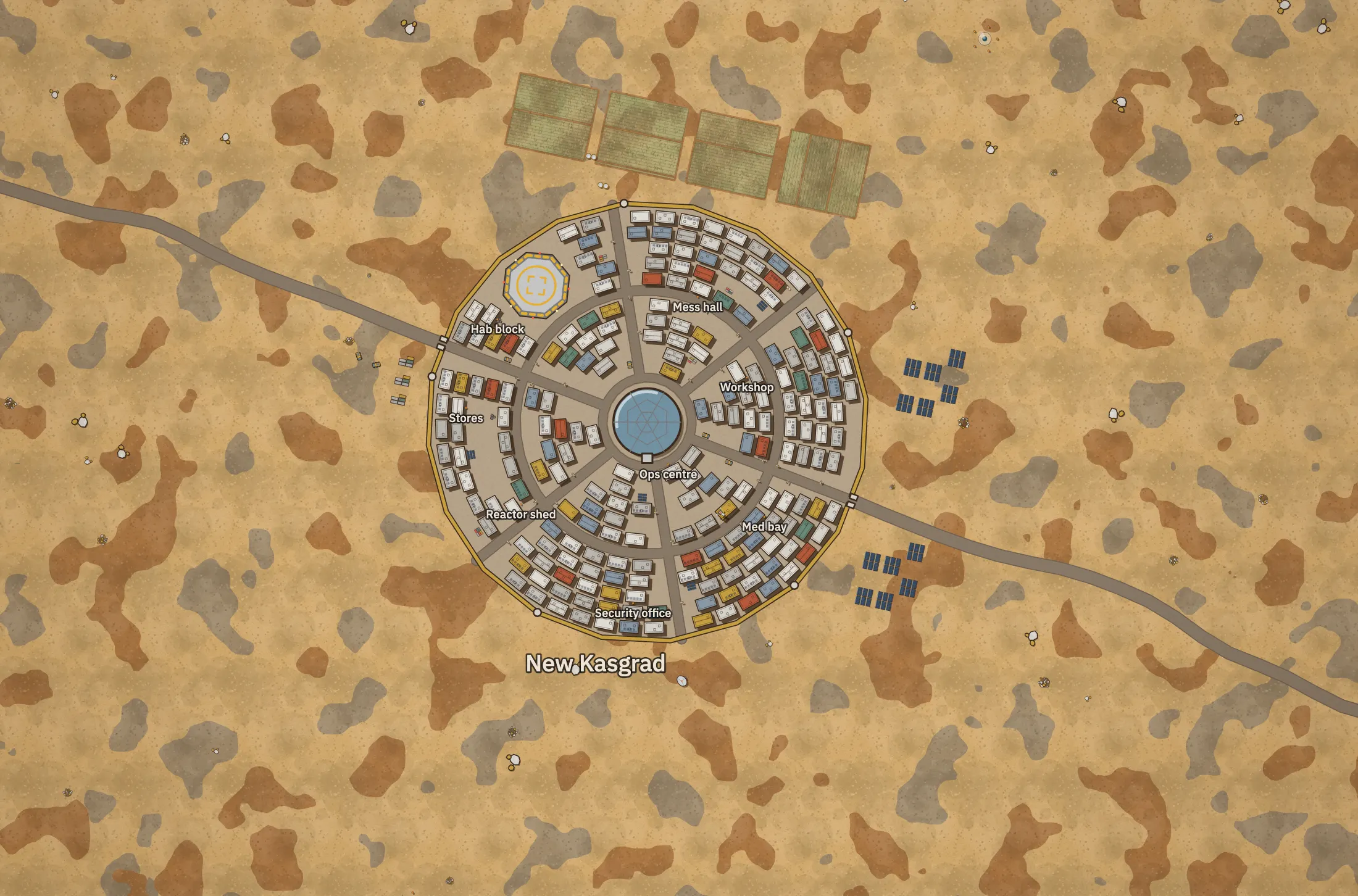
Dune world. Sand to the horizon, rock outcrops, dust storms; no water.
Open this colonyThen chart the whole system
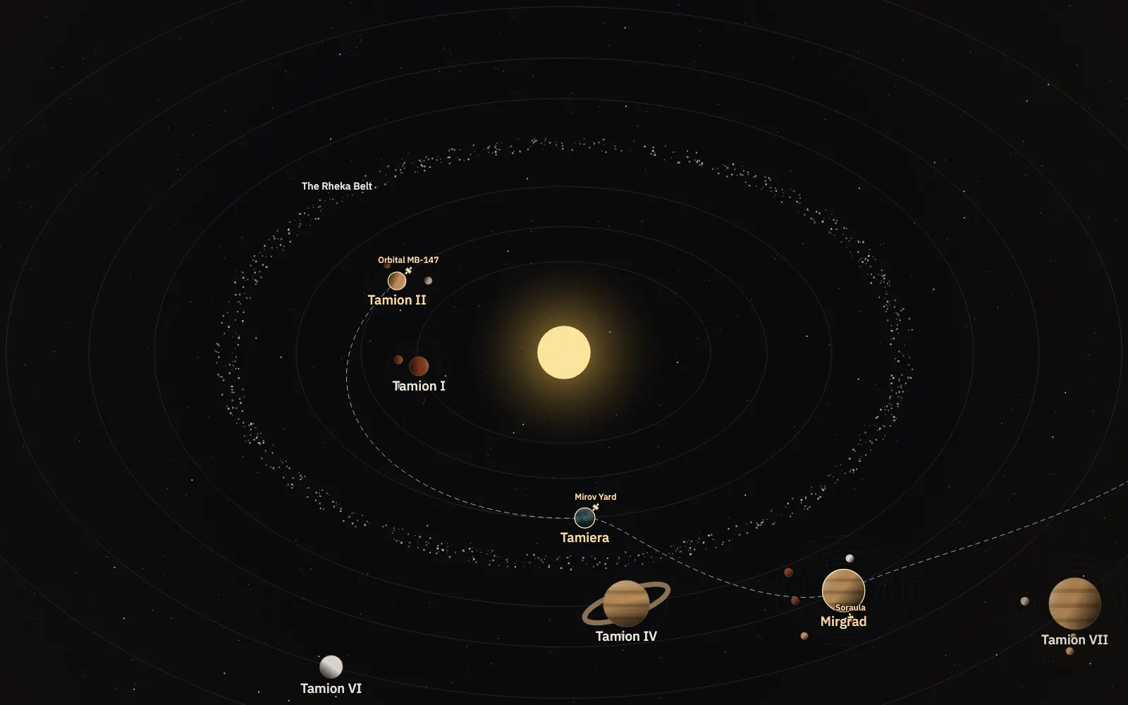
Worlds on their orbits, moons, belts, stations and jump gates, in 3D in the editor with the clock running. Click a planet and it drafts that world.
Every scale links to the next
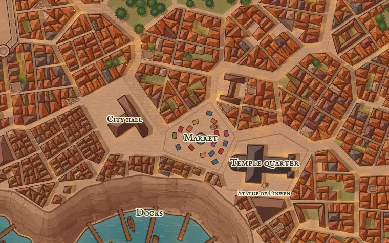
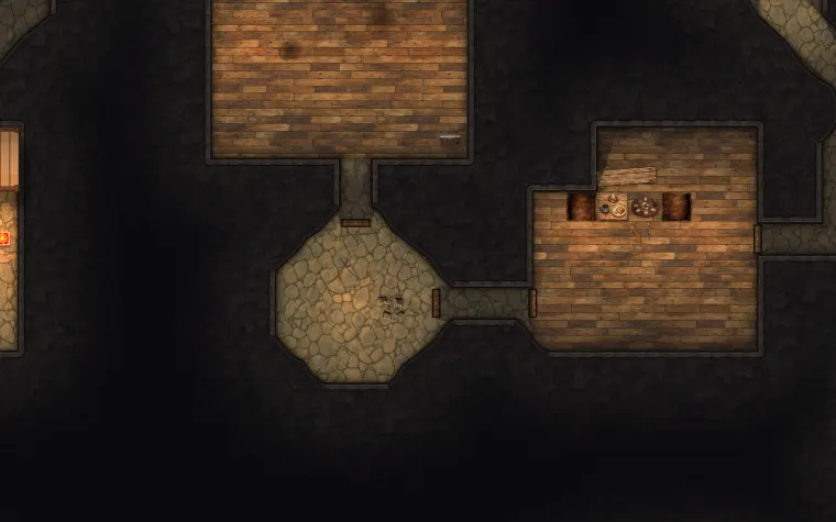
Pin a map inside the one above it and it's drawn from what's there: its coast, its roads, its buildings. Click your way from the world to the room.
Questions
Is it free?
Yes, while we're in early access. You can make and edit maps without an account. Sign in with your email to keep them in your account.
What's the difference between a world and a region?
Scale. A world map is continents and oceans. A region is a stretch of it a kingdom or so across, with villages on it as well. You can start either, and pin one inside the other.
Can I paint my own coastline?
Yes. Start blank with open sea or plain lowland, or from any draft, then raise and sink the land with a brush. Then redo the rivers, realms, roads or names from the land as it stands.
Does it do hex maps?
It can lay a hex or square grid over a world or region. The hexes aren't numbered and can't hold notes yet, so it isn't a full hexcrawl tool.
Can I export it?
As a PNG, or as a file you can open again here.
How are the maps made?
They're procedural: rules lay out the land, the realms and the names, and the same seed always builds the same world.
Somewhere out there is a town called something
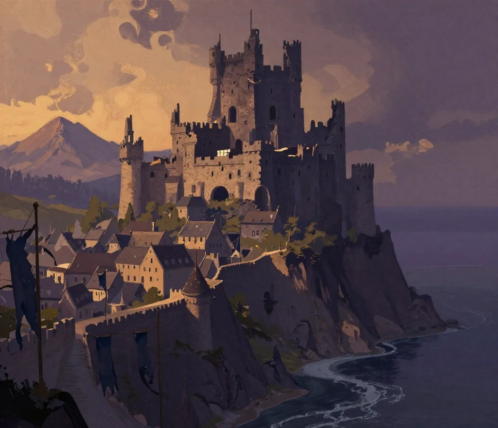
Draw a world now, no account needed. Sign in to keep it, and click any spot on it to draft the town that's there.
Make a world mapSign in to save your maps and link them together.